Commercial Rooftop Inspection
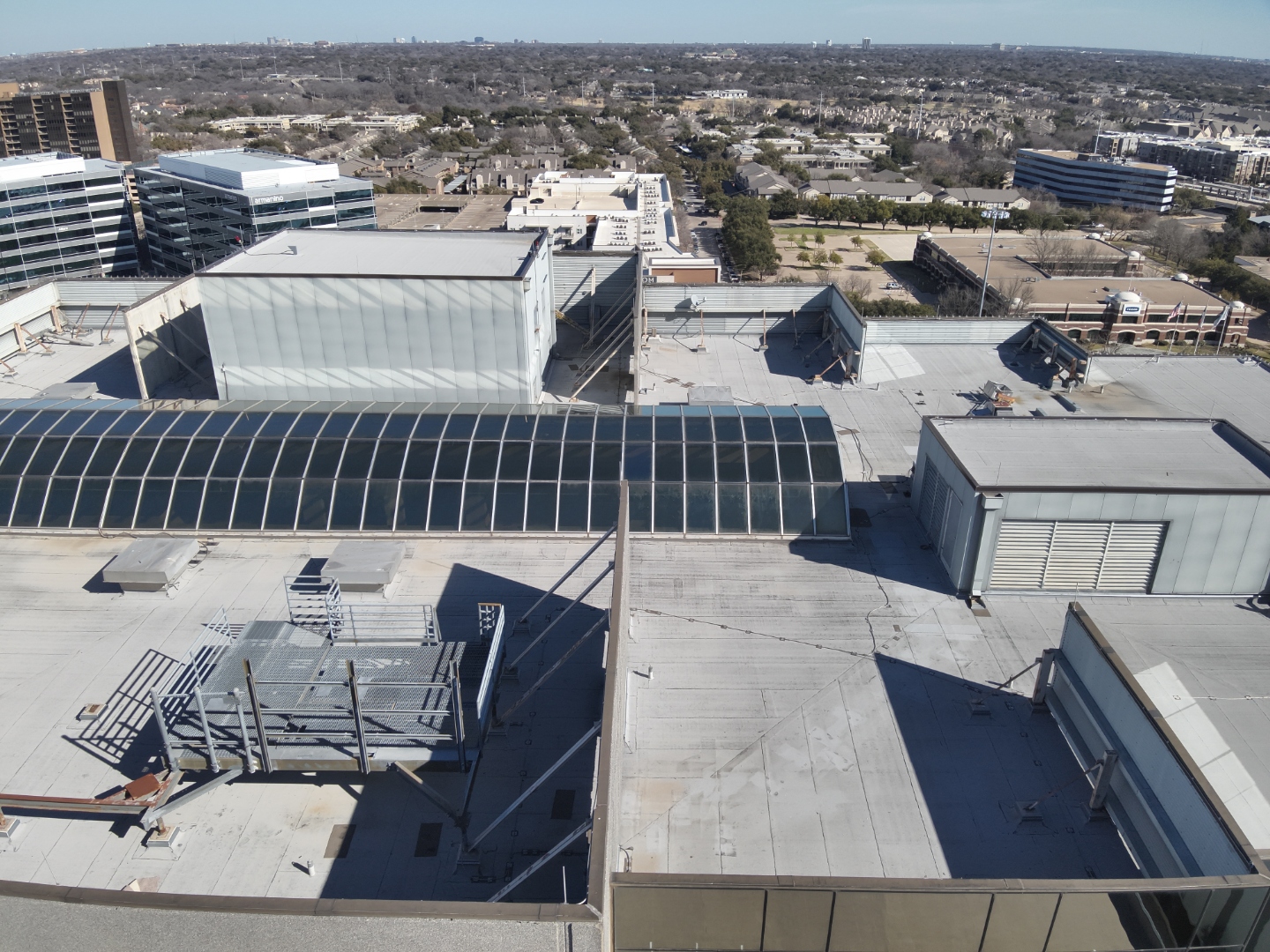
Aerial nadir view of a multi-building commercial complex documenting roof condition, HVAC equipment, skylight structures, and membrane surfaces.
Real inspection and mapping missions completed by AeroIntel Drone Solutions — RGB visual captures and thermal IR imagery from the field.
6 images from completed missions
Aerial nadir view of a multi-building commercial complex documenting roof condition, HVAC equipment, skylight structures, and membrane surfaces.
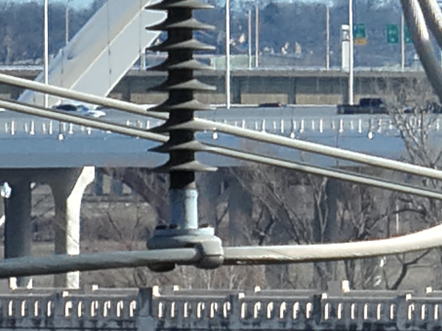
Close-range visual capture of a high-voltage insulator and conductor hardware — documenting component condition for utility maintenance planning.
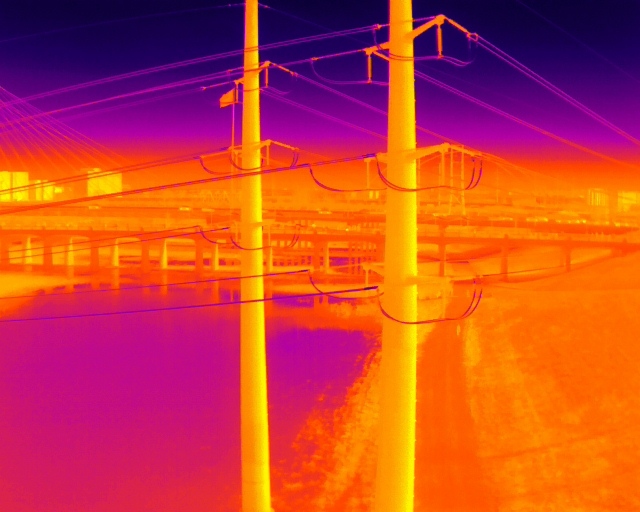
Infrared thermal scan of utility poles, power conductors, and bridge infrastructure identifying heat signatures and thermal anomalies across multiple assets.
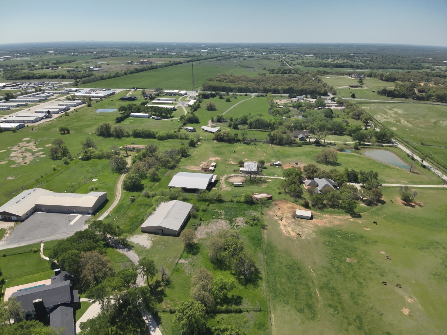
High-altitude aerial survey capturing a rural property with multiple structures, access roads, fencing, and land features for site documentation and planning.
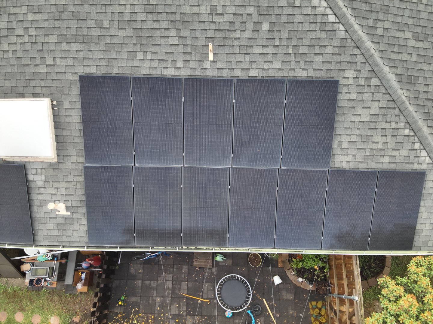
Nadir RGB capture of a residential rooftop solar array — documenting panel layout, mounting hardware, shingle condition, and overall array configuration.
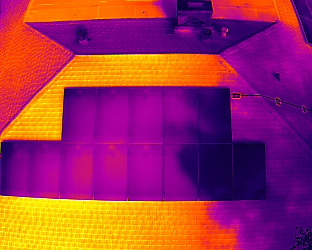
Infrared thermal image of a rooftop solar array showing heat distribution across panels and surrounding roof surface — used to identify underperforming cells and hotspots.
Have an asset that needs inspection or mapping? AeroIntel delivers this level of detail on every mission.
Request an Inspection →